Satellite experts unite in Leicester for exciting project to tackle global warming

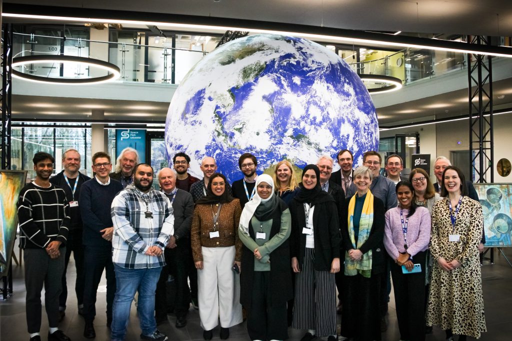
Experts developing a ground-breaking satellite to detect, measure and monitor point sources of carbon dioxide emissions as part of the fight against global warming met up at Space Park Leicester to drive forward the exciting international project.
Representatives of the Bahrain National Space Agency (NSSA) visited the University of Leicester’s £100 million science and innovation hub earlier this month to collaborate on the CO2Sat Project.
The CO2Sat concept is being developed by a team from the UK and Bahrain, including representatives from Space Park Leicester, the NSSA, and industry partner Geospatial Insight.
Dr Josh Vande Hey, Head of the Earth Observation Science Research Group at Space Park Leicester, said: “Greenhouse gas emissions related to human activities are driving global climate change. In order to target national and global efforts for greenhouse gas reduction, we need a more precise understanding of emissions across sectors and regions.
“Data on detection and quantification of industrial CO2 emissions, at their source point, is a key observational gap and a critical requirement if organisations and nations are to understand their emissions profiles and develop strategies to reduce them and meet net zero targets.
“CO2Sat is planned as a constellation of satellites to deliver this capability – providing consistent, frequent and accurate measurement of industrial CO2 emissions from space at a global scale. “We were delighted to welcome NSSA representatives to progress the project and share our expertise and knowledge with one another and meet together with our industrial partner, Geospatial Insight, to discuss the future of our joint programme.”
During the visit Space Park Leicester hosted several working sessions on metrology, scenario modelling, ground sensing, optics design and drones.
A team from the National Space Science Agency (NSSA), including Ms. Roaya Bubshait, Head of Geospatial Analytics, and engineers Yaqoob Alqassab, Reem Senan, and Hala Ebrahim, recently visited the University of Learning (UOL) to collaborate on technical tasks related to testing the payload.
During their visit, the NSSA team also delivered a workshop that highlighted the agency’s strategic plan, objectives, and key achievements. The session focused on NSSA’s activities in analyzing space imagery and data to support national needs.
The team from Leicester is leading the project’s spectrometer instrument design, build and lab test, as well as the development of the data retrieval pipeline.
NSSA is leading the specification, implementation plan and testing of the satellite’s Hyperspectral Imager as well as collaborating on the mission design.
Geospatial Insight is taking the lead on market research, scenario modelling, operational planning, and user-tailored data product development
The UK Space Agency awarded the team £1.4 million to demonstrate proof of concept of the instrument and mission for the current phase of the project which is due to be completed by March 2025. The team hopes to secure further funding to support the next stages of the project, including the satellite build, assembly, integration, launch and operation.


